Maiden Creek Topographic Map - 9337-3S
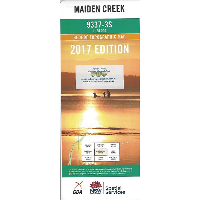
Maiden Creek LPI Map 9337-3S, 1:25,000 scale topographic map covering Round Mountain and the area to the west including Cathedral Rock National Park, Chandler River and Wollomombi River.
In stock
SKU
LPI9337-3S
$16.70


Related Products
Check items to add to the cart or

| Publisher | LPI |
|---|---|
| Description | Maiden Creek 1:25,000 scale topographic map, LPI 9337-3S, 2017 Geopdf edition This map may be laminated and refolded for extra durability in the field. |
Write Your Own Review